- high.rec-2015.5-2
- Item
- 1872
Part of Records
2473 results with digital objects Show results with digital objects
Part of Records
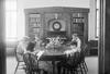
Literature Room 7-8 : Jesse Smith
5 children seated at round wooden table reading books. Unknown location and the children in the photograph are unidentified.
Part of Emily Rosenberg papers
Part of Emily Rosenberg papers
Part of Emily Rosenberg papers
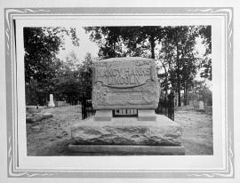
Little Pigeon Baptist Church (copied from J.H. Barret's Life, etc., of Lincoln); 1914/01/04
Little Pigeon Baptist Church (copied from J.H. Barret's Life, etc., of Lincoln); 1914/01/04
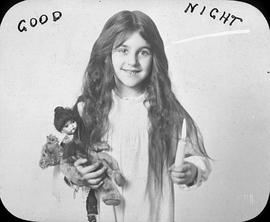
Little Susan : What are we going to call the baby
Part of Elizabeth Orton Jones Collection
Part of Mandel family collection
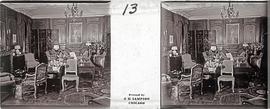
Room with daybed, chairs, chest of drawers, and other furniture.
Part of Mandel family collection
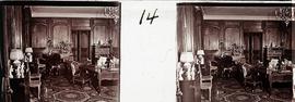
Living room with piano.